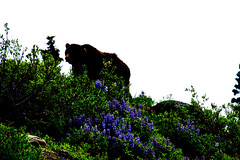
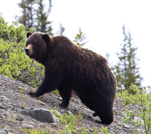
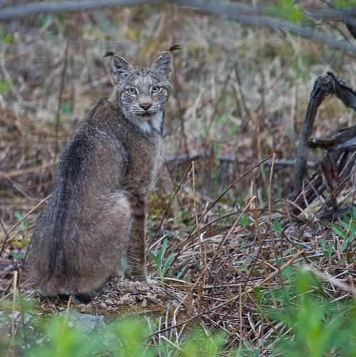
Well, I thought while I was hanging around the area, waiting till it’s time to head south this winter I should put in a plug for the Telegraph Creek area. If you are on an Alaskan adventure and need some encouragement to put the Cassiar Highway on your map this might help you. There are a ton of stories out there about the condition of the highway. Here is my read on it and for the last 4 years I have been on it almost daily. From the time you head south on the Cassiar (Hwy 37) at Watson Lake you will encounter some gravel stretches intermittently. For the most part the highway from Watson Lake to Dease Lake is seal coated but there are a number of small gravel stretches and one large one, 20 miles, just north of Dease Lake. South of Dease Lake it is all seal coated except for 5 kilometres across the Stikine River and south of the Stikine it is really quite good for the rest of the trip. Take it easy and you won’t have any problems, the gravel stretches themselves are quite smooth it is just the transitions that are a little rough. The scenery is spectacular so going slow should be mandatory anyway. Wildlife abound along this route and it is likely that you will encounter Moose, Caribou, possibly some Stone Sheep around Good Hope Lake, as well as foxes, and maybe both Black and Grizzly Bears. (Have a look at my Flickr link for more photos) If you're really lucky you might spot a wolf or a wolverine along the way also, I have. I have seen much more wildlife along this route than I ever did in the two Alaskan trips I have taken over the last few years. Once you get to Dease Lake your journey is just really starting. At this point you have a couple of options, the first is to just continue on south, but the second will be an experience that you will never forget. Overnight in Dease Lake, there is a full service RV park just on the south side of town, and unhook, and take the road to Telegraph Creek.
This will certainly be the side trip that will make the highlight reels on your trips down memory lane. It is 112 kilometres from Dease Lake to Telegraph Creek but it is one of the most spectacular, beautiful drives I have ever been fortunate to take, and I’ve been on a few. The road is gravel all the way but well maintained. The first 70 odd kilometres wind through the forest and it is pretty nice. Once you get through that forest though you are in for a treat. You actually cross the Tuya River just above the Grand Canyon of the Stikine River.
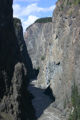
Some pretty nice vista’s here. Once you climb out of the Tuya river valley you cross over to the Stikine River, which you will follow until you reach the end of the road. There are some beautiful viewpoints along here, stop at least half of them, you should stop at the other half on your way home. As you first break into the Stikine valley you should stop along the descent and have a look at the valley, there is an old ranch down on one of the terraces that is called Days Ranch and it still belongs to the Day family who settled there in the early 1900’s. It is private property though so please respect that. Once you get past Day’s Ranch there is another viewpoint, Rest Area, that is a must stop place for a few photos. You can see all the layers that make up the country side in the walls of the canyon.
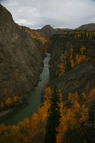
This is a shot up the Tahltan River just before you drop down to the confluence of the Tahltan and the Stikine River
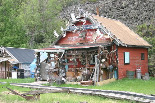
Soon you will drop down to the Tahltan River crossing, this is in the a Tahltan First Nation reserve and again is private land, folks here don’t mind you taking pictures but if you are wanting to fish or leave the main road you really should get permission from the band. There are a number of photo opportunities along this stretch including the Henyu’s Fish Camp cabin
and Eagle Rock.
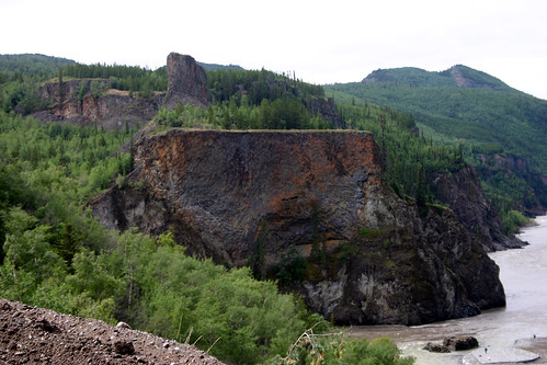
Eagle Rock has spiritual significance for the Tahltan people. This is the centre of their salmon fishing activities so is quite busy while the salmon are running up the Stikine and Tahltan rivers. As you climb out of the valley there are some great views of the Stikine River and a lot more viewpoints, save some for the return trip.
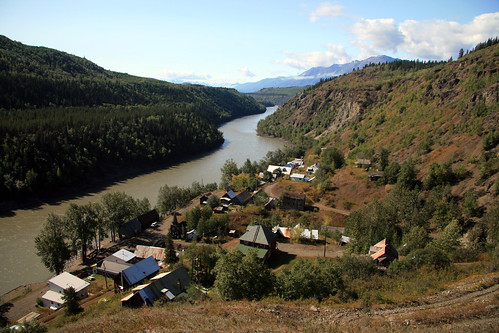
Once you get into Telegraph Creek head down to the river again. There are a few houses down there only a couple of which are occupied full time. The old Hudson Bay Company store from Glenora has been moved up there and is now a restaurant and Bed and Breakfast called the Riversong. It is only open a few months a year in the summer, but they have the best pie you will ever eat there. The sandwiches are great to but make sure you save room for the pie and some ice cream. If you feel like driving a little farther you can head out of town to the west. This will take you out to the old Glenora townsite and although there is nothing left there it is a pretty drive along the Stikine River.
Once you get into Telegraph Creek head down to the river again. There are a few houses down there only a couple of which are occupied full time. The old Hudson Bay Company store from Glenora has been moved up there and is now a restaurant and Bed and Breakfast called the Riversong. It is only open a few months a year in the summer, but they have the best pie you will ever eat there. The sandwiches are great to but make sure you save room for the pie and some ice cream. If you feel like driving a little farther you can head out of town to the west. This will take you out to the old Glenora townsite and although there is nothing left there it is a pretty drive along the Stikine River.
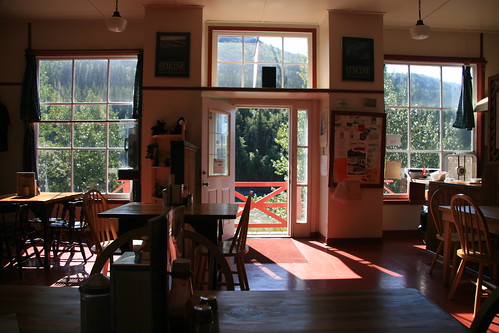
A view out of the Riversong, sorry I didn't get that perfect pie and ice cream in the shot.
Now if you're really feeling adventurous stop by Pacific Western Helicopters in Dease Lake and ask Jim to take you for a run through Canada's Grand Canyon along the Stikine River. I guarantee you will never forget it.
